|
|
|
|
|
|
|
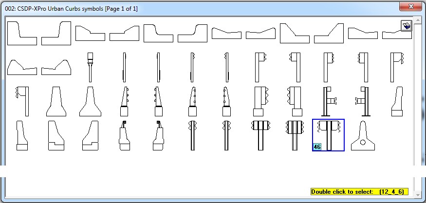
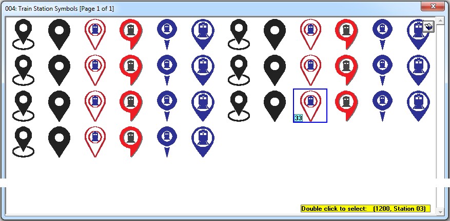
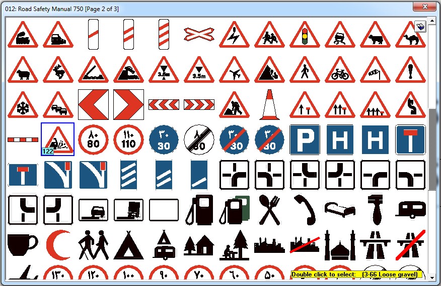
- Introduction of new symbol libraries for curbs and fences on urban roads and symbols related to railway stations
|
|
|
|
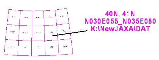
- Possibility of creating a JAXA surface overlay within the software itself, similar to the CSDPMAP and Google Maps windows
- Introduction of a new JAXA 2025 surface based on updated terrain surface data
|
- Introduction of the 1404 Macro cost-estimate for road construction
|
|
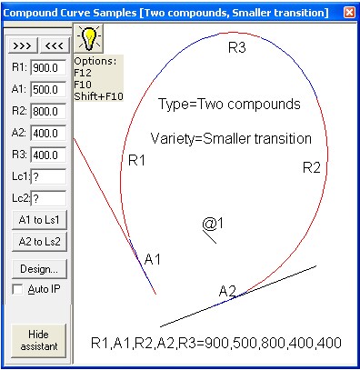
- Possibility of drawing compound spirals by specifying the actual length
- Possibility of defining the actual length of compound spirals when drawing ESC curves
- Possibility of printing Reference Manual pages
|
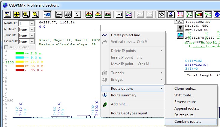
- Introduction of a new feature in Profiler mode called Combine Route for creating cross-sections based on surveyed side profiles
|
|
| Back to Top
|
|
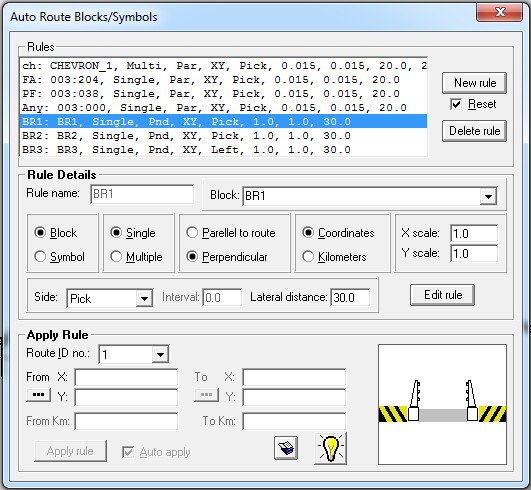
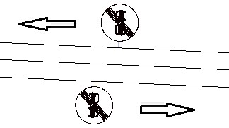
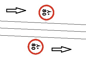
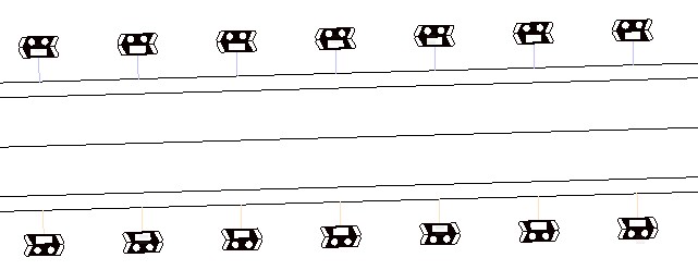
- Introduction of a new feature called Auto Route Symbols for automatically inserting signs and symbols along a route based on standards and traffic signs
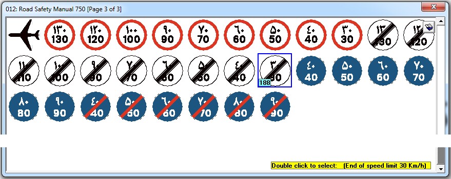
- Possibility of defining new route marking rules using blocks or individual or grouped traffic symbols
|
|
|
- Possibility of specifying the orientation of a sign or symbol relative to the route as Parallel or Perpendicular
|
- Possibility of specifying the location of signs or symbols (individually or in groups) by coordinates or route kilometer
- Possibility of specifying the scale in the X and Y directions for signs and symbols
|
|
|
- Possibility of specifying the side, spacing between signs or symbols, and lateral distance from the route
|
|
|
|