|
|
|
|
|
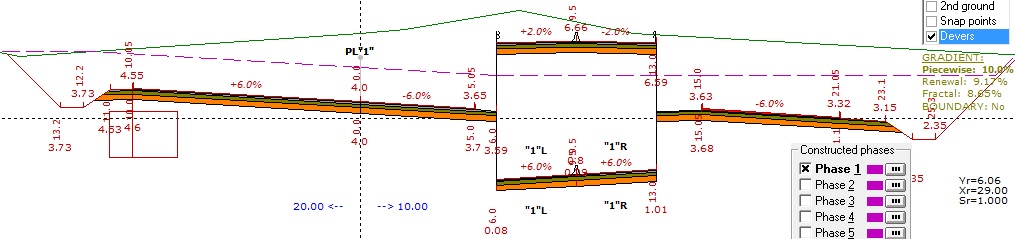
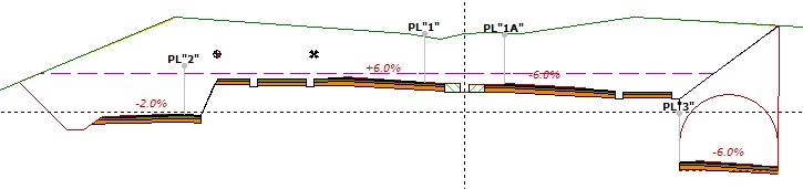
- Possibility of defining the width or height for each band (possibility of defining a negative width in special cases)
|
|
|
- Possibility of defining the cross slope or superelevation for each band
|
|
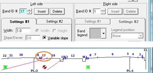
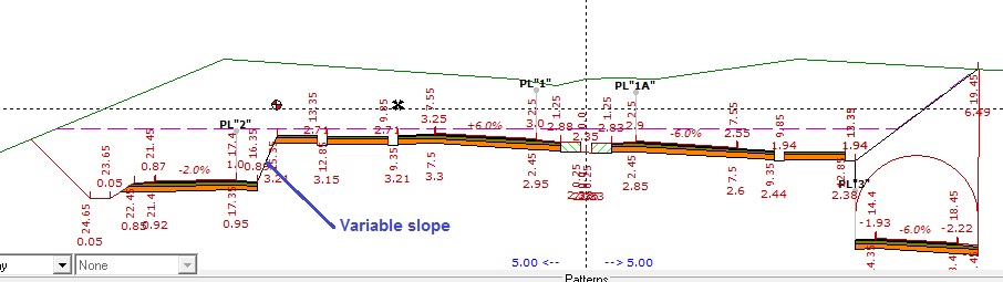
- Possibility of defining a variable slope for each band (dependent on the project elevations corresponding to two sets of project lines)
|
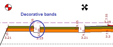
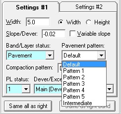
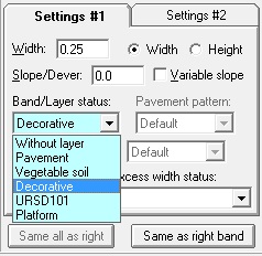
- Possibility of defining the layer status of a band as No Layer, Pavement Layer, Topsoil Layer, Decorative, URSD101, or Platform
|
|
|
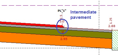
- Possibility of defining an Intermediate pavement/topsoil layer based on two pavement/topsoil patterns for each band
|
|
Back to Top
|
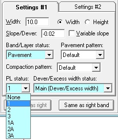
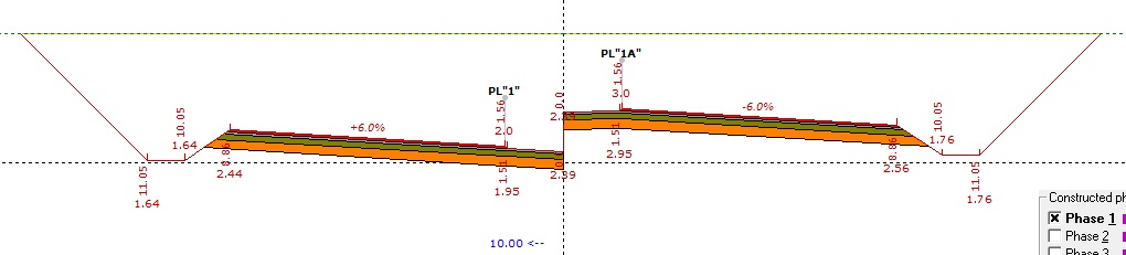
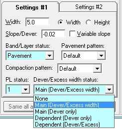
- Possibility of assigning a project line for each band (no project line or any of the 6 project line IP points)
|
|
|
|
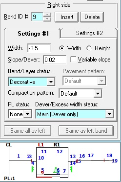
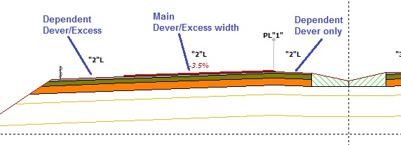
- Possibility of defining the superelevation and widening status of each band, taking horizontal curves into account, with the following options: Not Affected, Main Band (Superelevation and Widening), Main Band (Superelevation Only), Dependent Band (Superelevation Only), and Dependent Band (Superelevation and Widening)
|

|
|
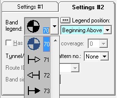
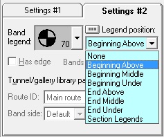
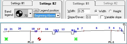
- Possibility of defining section legends for each band, along with the location and position of the section legend relative to the band
|
| Back to Top
|
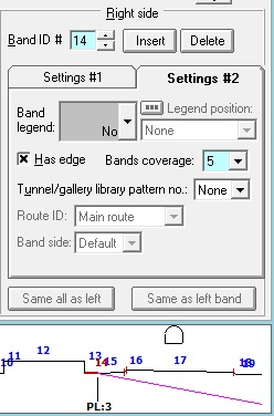
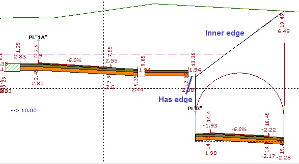
- Possibility of creating an inner edge for a band, along with defining the number of covered bands for slope calculation
|
|
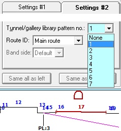
- Possibility of defining a tunnel or gallery for each band
|
|
|
|
|
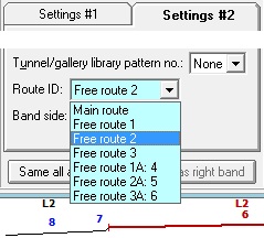
- Possibility of defining a route ID number for each band (the main route or any of the 6 Free routes) and defining the side of the band relative to the Free route independently of the side defined for the band in the dialog box
|
|